American geography, briefly.
Every U.S. state, city, river, mountain, desert, and national park — short, clear, and placed on the map. 299 entries and growing.
◆ Explore the map Browse the 50 statesBrowse by category
States & Territories
56 entries →
Cities
91 entries →
Landforms
37 entries →
Water
30 entries →
Regions
17 entries →
Parks & Public Lands
27 entries →
Human Geography
41 entries →
Featured places
See all on the map →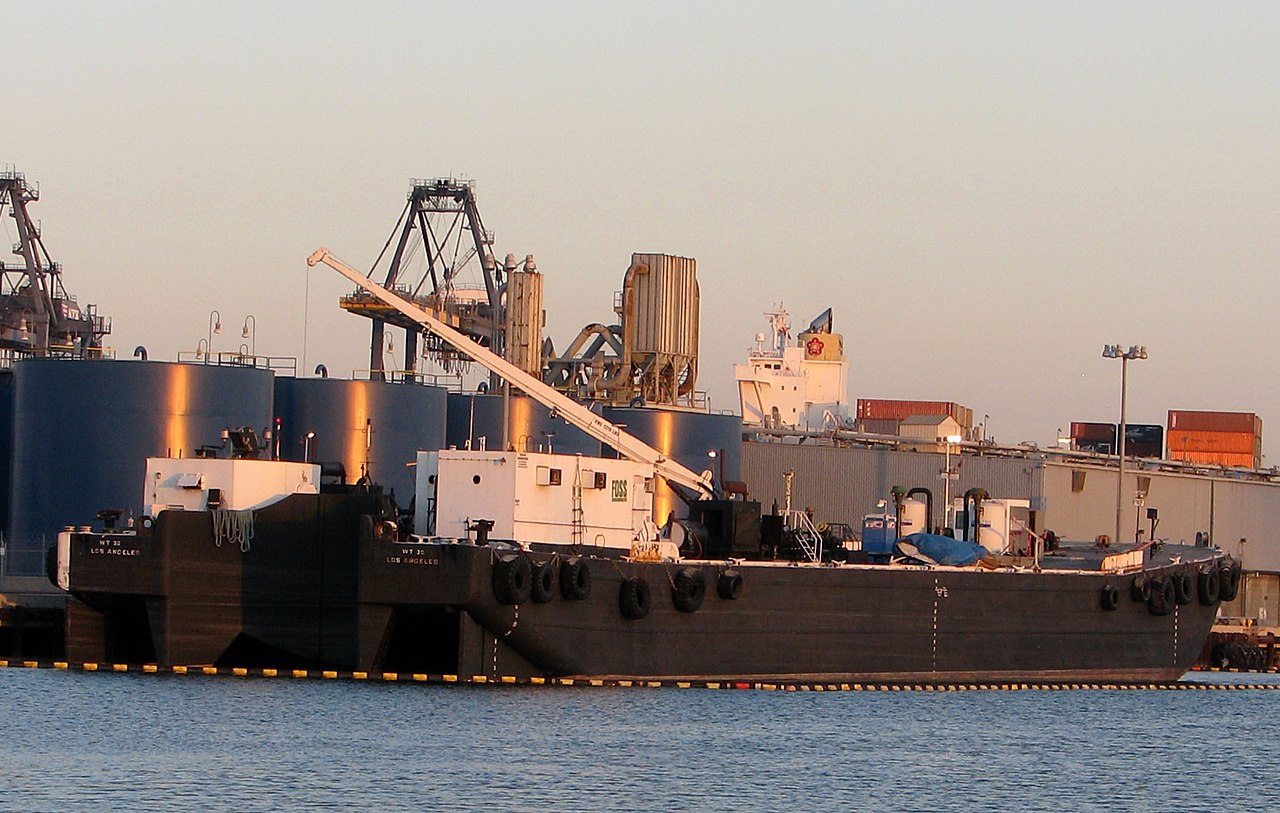 Human Geography
Port of Los Angeles and Long Beach
The busiest container port complex in the Americas
 Regions
The Midwest
America's agricultural and industrial heartland
 Landforms
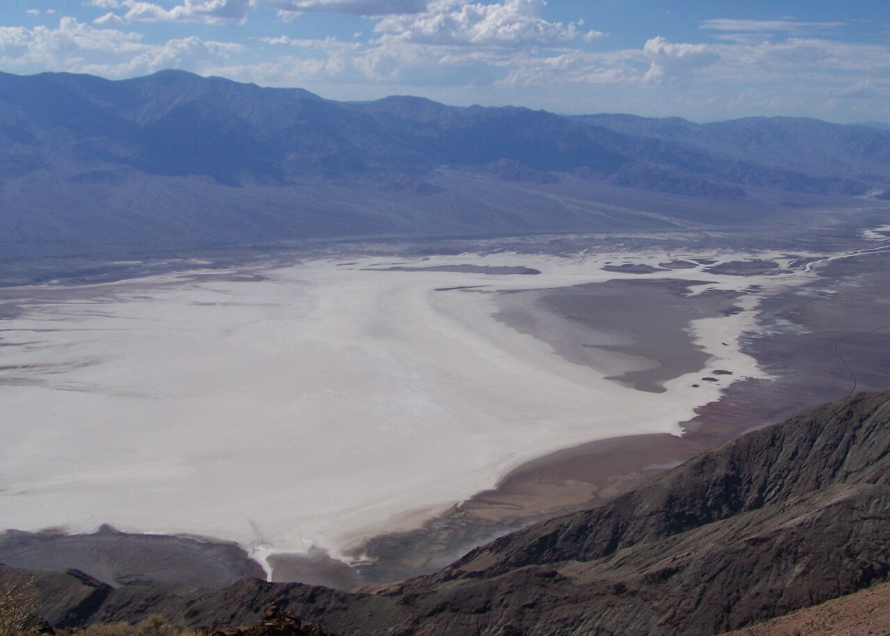
Badwater Basin
The lowest point in North America
 Regions
The Northeast
The Census region of New England and the Mid-Atlantic
 Parks & Public Lands
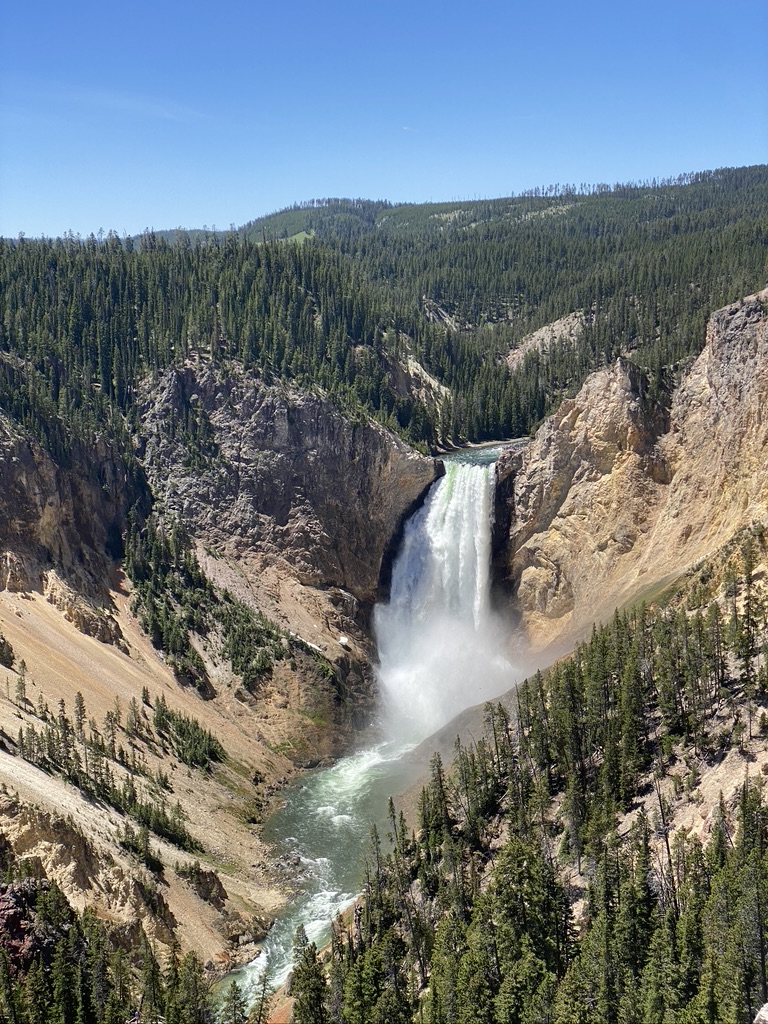
Yellowstone National Park
The world's first national park, atop a supervolcano
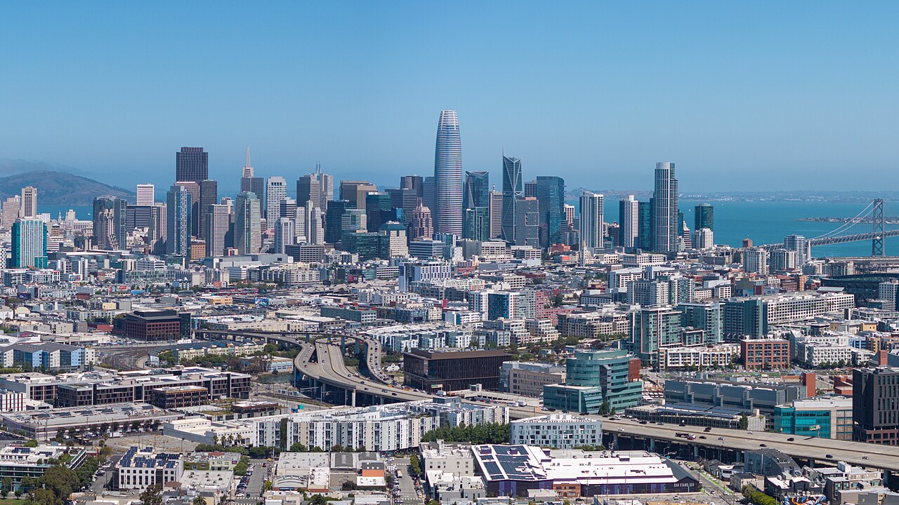 Cities
San Francisco
A hilly peninsula city on the Golden Gate